Monday 11 Dec
We’re still looking for places with little or no mud!

Walked 4.7 miles at Rutland Water with Kate and Norma. Coffee at Normanton cafe.


Monday 11 Dec
We’re still looking for places with little or no mud!
Walked 4.7 miles at Rutland Water with Kate and Norma. Coffee at Normanton cafe.
29th November 2023
We went for a walk - Thorpe by Water, Seaton, coffee stop on the warm and sheltered seat in the churchyard, after I had gone back to retrieve my hat and buff.


Over the fields to Bisbrooke. On the way there was a new obstacle - a temporary lake formed from the usual trickling stream.


10 miles.
Monday 27th Nov
Out to ECCP with Kate, Maureen and Norma - Platinum Ladies, Winter Women, Wiser Women - sitcom with me as nutty eco warrior, insisting that we all use my reusable cups.
Not so much a walk today…
Monday 20th November
Walk with Norma and Maureen (Norma drove) - Weekley Hall Wood again to Fox and Peony.
6.5 miles


Tuesday 7th November
After lunch we walked down to the river by the road and along to mill stream bridge, returning via field path over the railway and behind the church. The water level has gone down almost to normal. Fields pretty wet, and the ones on the way back were muddy. I am a big fan of wellies now! Beautiful afternoon
Another beautiful cold, bright morning .


Harry decided to walk with us. We went over to Maureen’s for 930, then drove out to Geddington, and did the walk to the Fox and Peony, through Weekley Hall Wood.


Talked them into letting us use crockery outside, but they still provided us with boxes for teacakes and scones! So half a victory.
Around 7 miles.
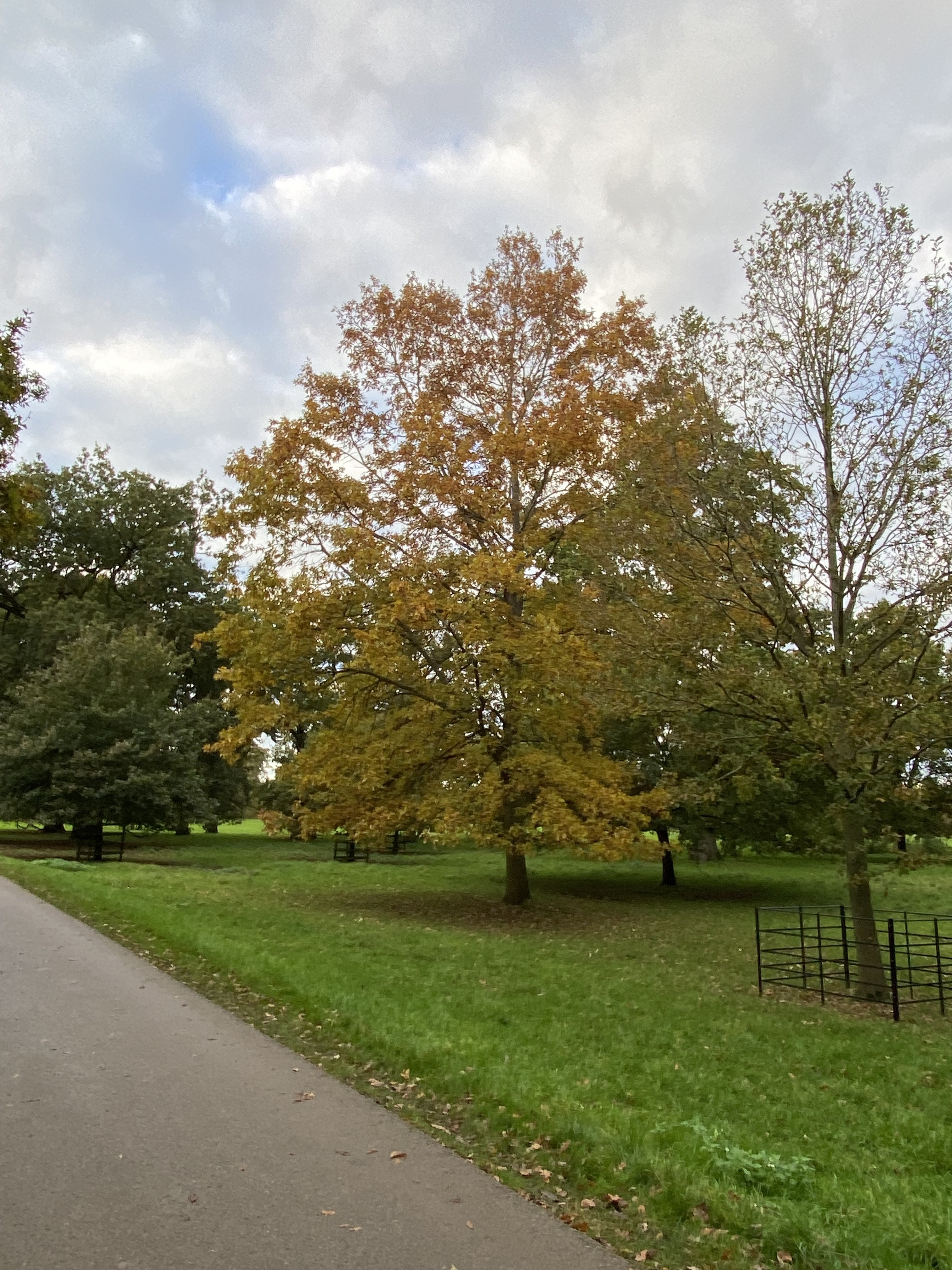
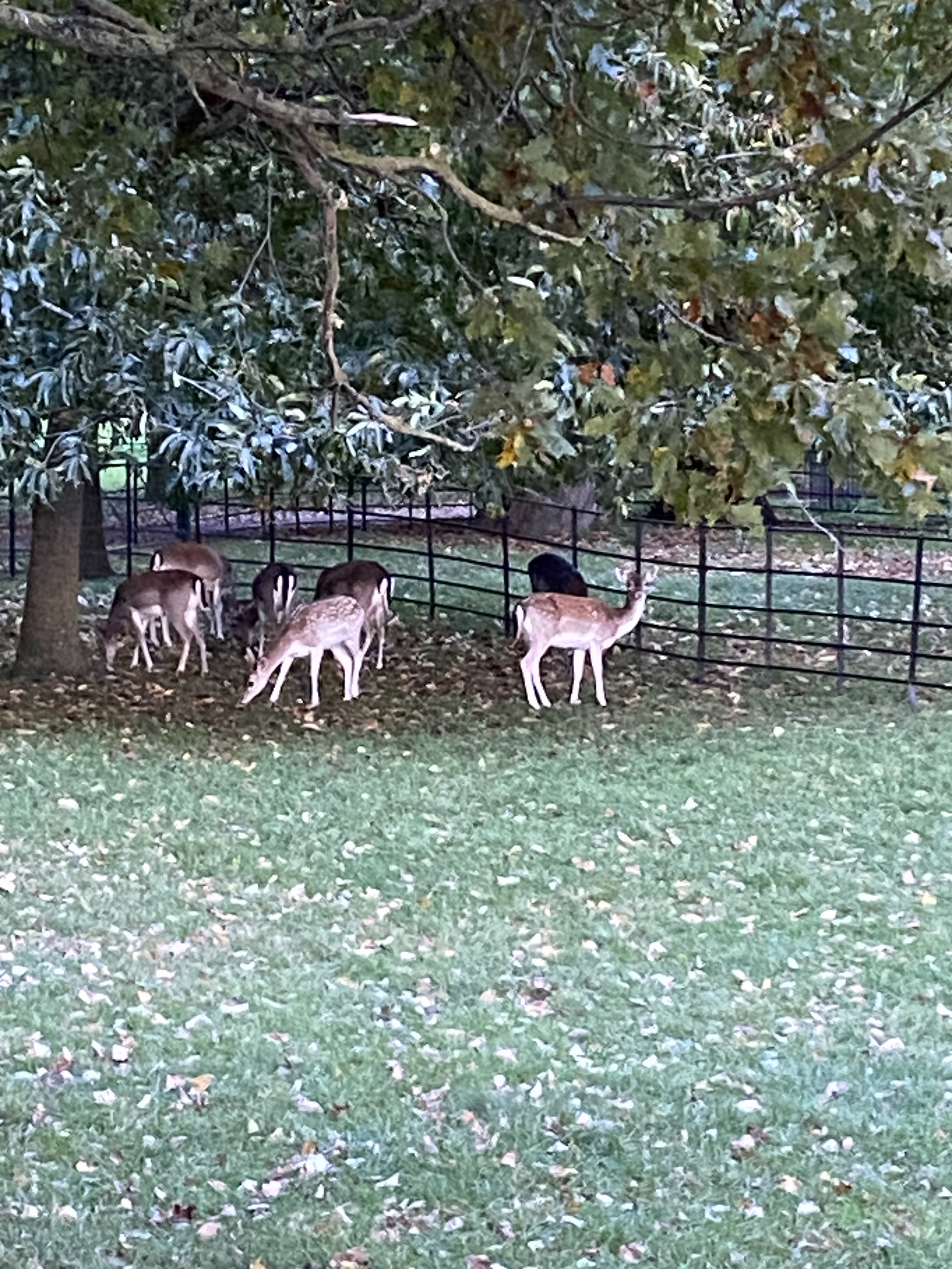
Sunday 5th November
In the afternoon we went to Burghley Park, and walked into Stamford. The wind had dropped completely, and the walk was pleasant. We had coffee at Café Black, sitting outside, next to a dog called ¨Harry Potter¨ apparently. Does he sleep in a cupboard under the stairs
Three and a half miles - ish.